Kertinge nor / Kerteminde fjord
Kertinge Nor / Kerteminde fjord
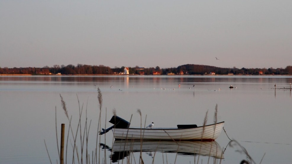
Nature in and around Kerteminde Fjord
The marginal moraine - Munkebo Bakke - with the Bronze Age mounds Degnehøj - Svanehøj and Kongshøj - was formed during the last Ice Age (Weichel) when the Bælthavsglacier made this ridge from materials from Kertinge Nor/Kerteminde Fjord.
The fjord/Noret covers a total area of 8.5 km2, with an average water depth of 2 m, and a maximum depth of 8 m. From the start at Langebro (bridge) in Kerteminde to the bottom, it is almost 10 km.
The change of the tide causes a water flow of typically 100 m3 - per second - at the fjord mouth.
Aquarius occurs in very large numbers. The density in the middle of summer is as high as 250 individuals per m3. This quantity causes the jellyfish to starve, and thus do not grow very large.
Other animals and fish include dogfish, mud goby, European eel, black goby, sprat, eel flounder, kelp needle and flounder, as well as invertebrates such as prawns, mussels, brush worms, beach crabs and barnacles.
If you want to learn more about the animals of the sea, a visit to Fjord and Belt is highly recommended.
This abundance of animals is the reason for the abundance of birds: eiders, swans, cormorants, seagulls and herons can be seen.
On the south side of Kerteminde Fjord near Ladby, Denmark's only Viking ship grave was excavated in 1935. The world's only ship grave from the Viking Age, where the ship still lies in its original place. From the same time, it can be mentioned that a pile barrier was found at Snekkeled near Skålholm, which was supposed to prevent looting from the lake side at Munkebo.
At the bottom near Dræby there has been a draw point between Kertinge Nor and Odense Fjord. In the Viking Age there were approx. 300 meters between these two fjords.
At the bottom of Kertinge Nor lies the small island of Galgeholm. Horror and horror, one might say. Because until 1578 there was actually a court here! Remains of the foundation have been found on top of an ancient grave.
It should also be reported that there were thoughts of damming the Kertinge Nor, but the Ministry of War prevented it in the 1870s, as it was too expensive and too big a job. And fortunately for that, you could say.
Otherwise, at Langebro (brigde) in Kerteminde at low tide you can see a small island: Melen, or as it was called earlier, Middelgrund. It is not known exactly when it originated, but it can be seen on maps from the beginning of the 19th century. Most likely formed by merging materials when Langebro (bridge) was built. Has been quite a bit bigger in the past, but is now on its way back to the fjord.
In 1901, Melen hosted a party for the Salvation Army for 3 days. And has also previously been used for St. Bonfire.
Take the time for a breathtaking and beautiful bike or kayak tour around Kerteminde Fjord/Kertinge Nor. Where, in addition to beautiful nature, the tour also offers, for example, Kertinge Church, Ulriksholm Castle and the forest by Ulriksholm where, if you look carefully, you can see a few Bronze Age mounds. Perhaps a visit to the Viking Museum in Ladby.